Report on Board for Asian Countries (HKG-KLP-HNI-SP)
- Navigation with a barometer and a magnetic compas -
= Sep.7, 1999 - Sep.18 =

[The last renewal of this page: September 28, 1999]
 I had a chance to have a business trip to Hong Kong, Kuala Lumpur,
Hanoi, and Sinagpore, from Sep.7, 1999 to Sep.18. This is a report of the pictures on board during the trip.
I had a chance to have a business trip to Hong Kong, Kuala Lumpur,
Hanoi, and Sinagpore, from Sep.7, 1999 to Sep.18. This is a report of the pictures on board during the trip.
This time, I did not have a chance to visit the cockpit, but this is a report to
show you how I am trying to get flight informations on board, using a barometer and a magnetic compas, to prepare for the emergency case that the pilot and co-pilot both felt over with a sudden illness.(Hi Hi!)
would have problem
| Date | Route | Time | Flight time | Airline | Flight No. | Aircraft |
| 9/7(Tue) | Narita - Hongkong | 11:00-14:30 | 3h30m | Cathey Pacific | CX504 | |
| 9/8(Wed) | | | | | | |
| 9/9(Thu) | Hongkong - Kuala Lumpur | 14:45-18:25 | 3h40m | Malaysia Air | MH073 | |
| 9/10(Fri) | | | | | | |
| 9/11(Sat) | | | | | | |
| 9/12(Sun) | Kuala Lumpur - Hanoi | 09:25-11:45 | 2h20m | Malaysia Air | MH752 | |
| 9/13(Mon) | | | | | | |
| 9/14(Tue) | | | | | | |
| 9/15(Wed) | Hanoi - Singapore | 14:15-18:30 | 4h15m | Singapore Air | SQ175 | |
| 9/16(Thu) | | | | | | |
| 9/17(Fri) | Singapore - Narita | 09:50-17:35 | 7h45m | Singapore Air | SQ012 | |

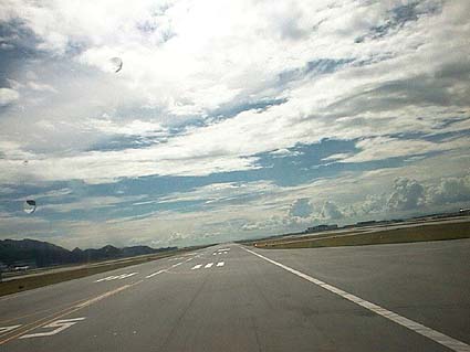
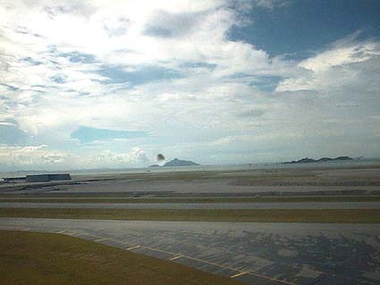
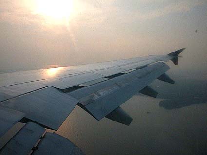
On Sep. 7 (Tue), from Narita to Hongkong (11:00-14:30) taking 3h30m on Cathey Pacific CX504
Hold Short of Runway, waiting for the take off of the airplane ahead.
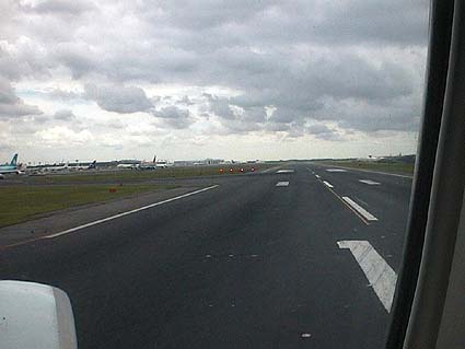
Right ahead to the runway. Four red lights of VASI are in sight. (An instrument to indicate right glide path and approach angle for the landing airplane)

This is what I always take me with. A barometer, which we can buy at automobile accesorry shops.
Designed for the use in the RV. This is cheap (JPY5,000), but it's accurate!
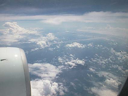
The controlled air pressure inside of the airplane is about the same among diffrent airplanes,
and it varies almost in propotion to the altitude, and therefore, we can know the flight altitude
almost accurate. Set the adjust ring to 0m before the take off. Of course there is no adjustment
in accordance with QNH, but if you do not intend to fly with it, this is good enough to know.
At the measurement of 500m, actual altitude is about 10,000 feet.
So, this measurement altitude 1,750m means 35,000feet in actual altitude.
(I asked a cabin atendant to confirm the altitude at the cockpit, and the answer was
exactly the same.)
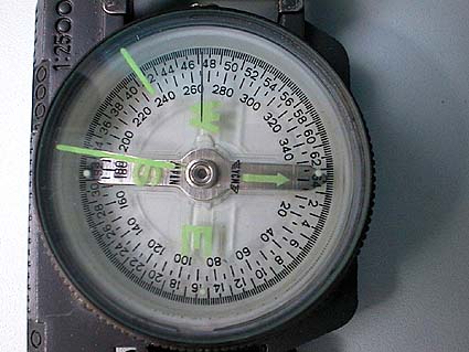
Another useful instrument is this magnetic compas. Directions in degree is readable, and
we can easily understand like "heading 265". (Read the direction considering the pole deviation
which is about five degrees.)
In case of domestic flight, which the pilot use radio comunications frequently on VHF radio,
I always set a portable receiver in my pocket (secret!), together with enroute maps.
I am always ready to change with pilot to continue the flight!
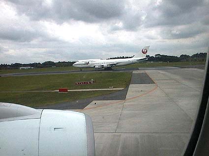
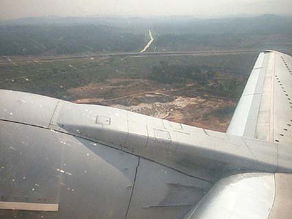
Sep.9 (Thu), Hongkong - Kuala Lumpur (14:45-18:25) for 3h40m on Malaysia Air MH073


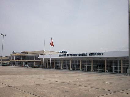
Sep.12 (Sun), Kuala Lumpur - Hanoi (09:25-11:45) for 2h20m on Malaysia Air MH752
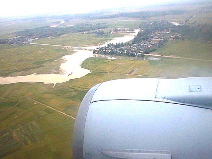
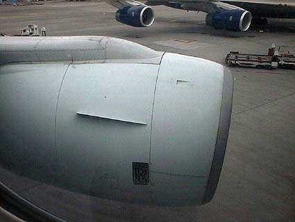
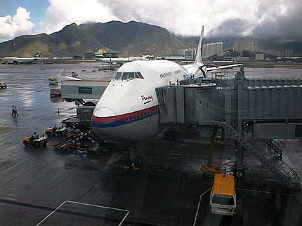
Runway has a lot of seams with very bad conditions. (Hanoi Airport, Vietnam)
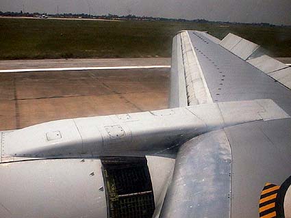
Reverse thrust gest the engine cover slided to the back.

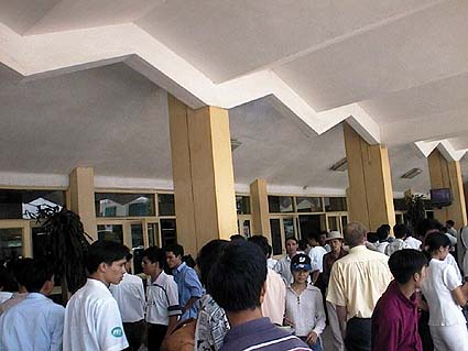
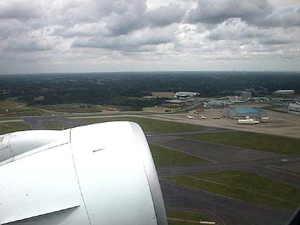
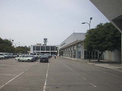
This is the airport building at Hanoi.
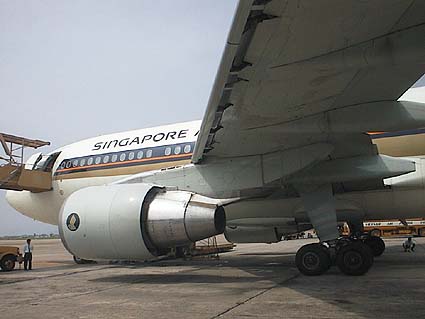
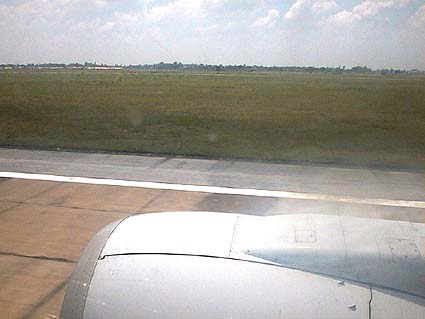
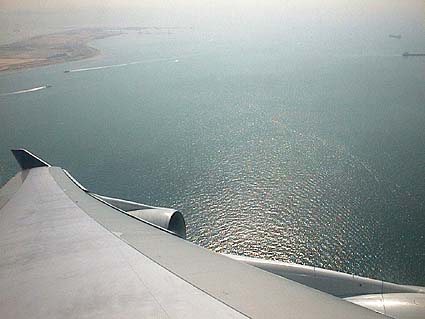
Sep.15 (Wed), Hanoi - Singapore (14:15-18:30) for 4h15m on Singapore Air SQ175


We may need a little preparetion (?) for getting on board Vietnam Air.


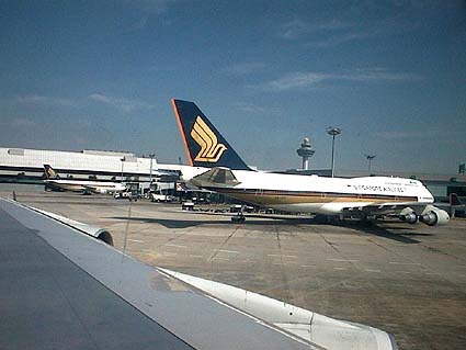
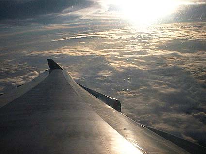
Sep.17 (Fri), Singapore - Narita (09:50-17:35) for 7h45m on Singapore Air SQ012
 In case you hit this
page directly from a Search Engine, you can reach to all of the pages of MAFNET from Top Page
In case you hit this
page directly from a Search Engine, you can reach to all of the pages of MAFNET from Top Page